Realistic Synthetic Radar Video
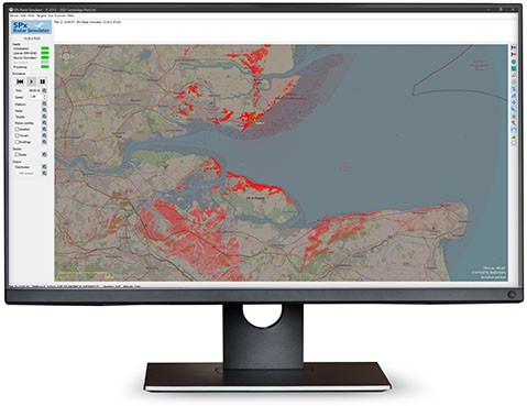
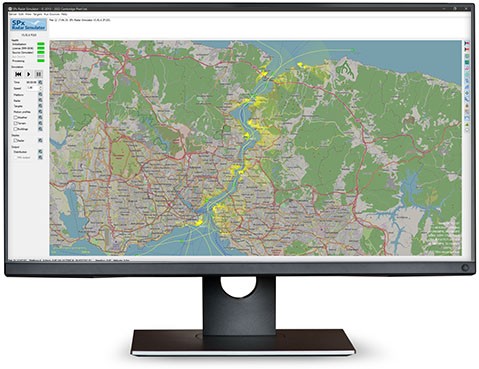
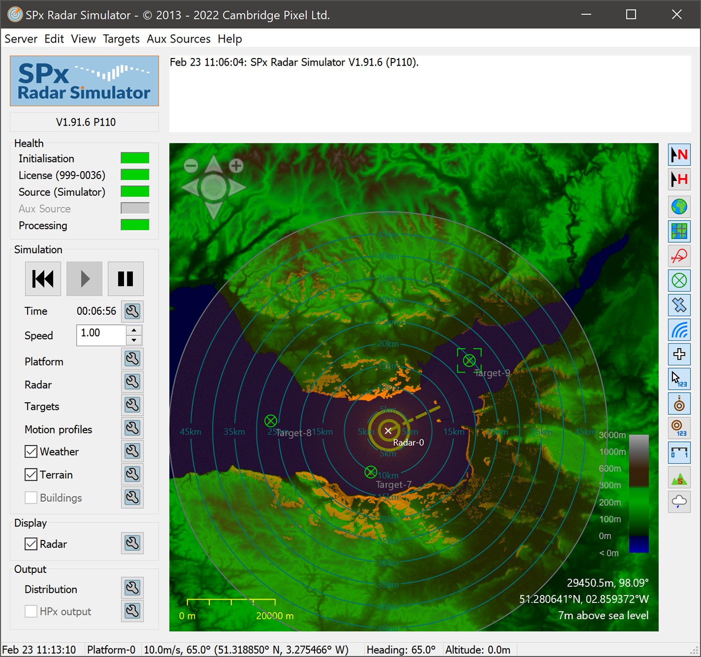
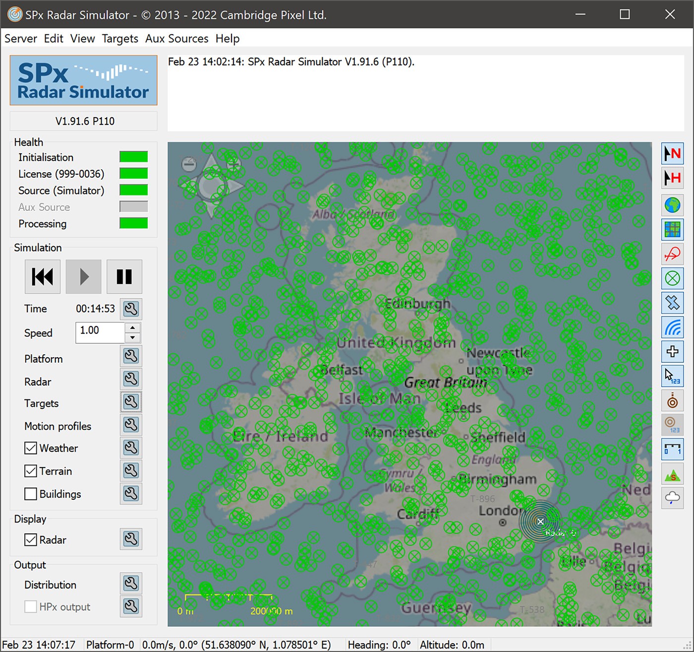
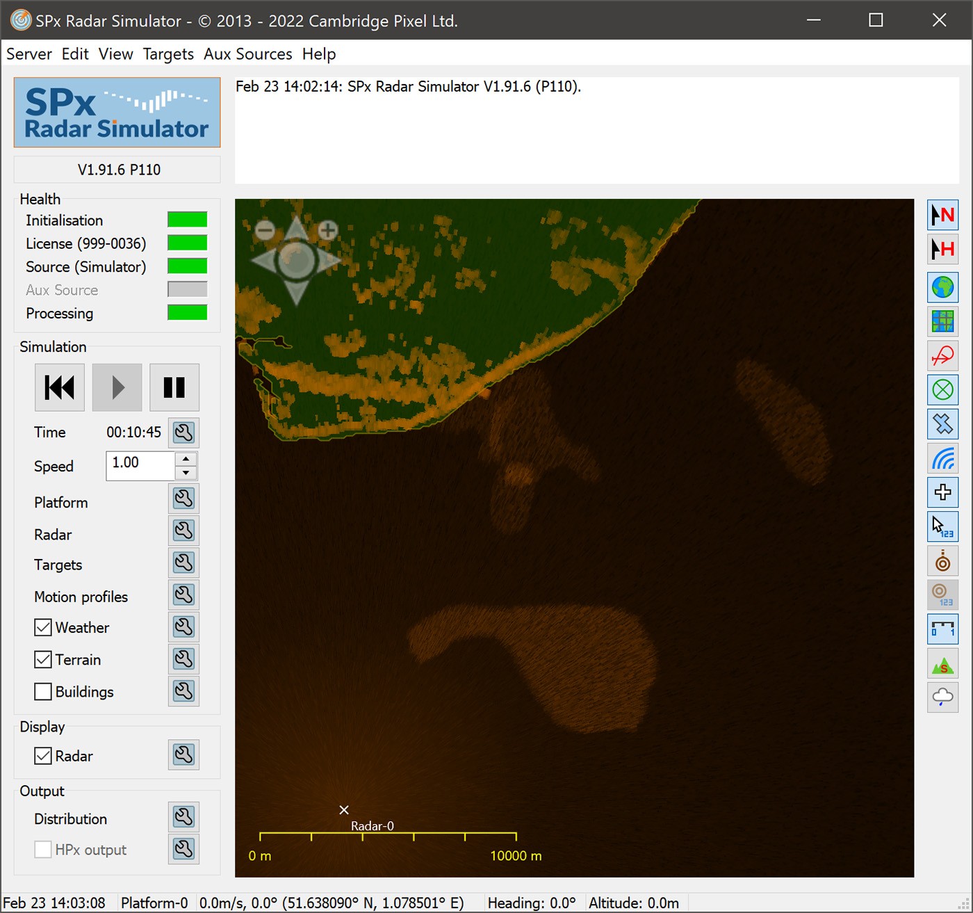
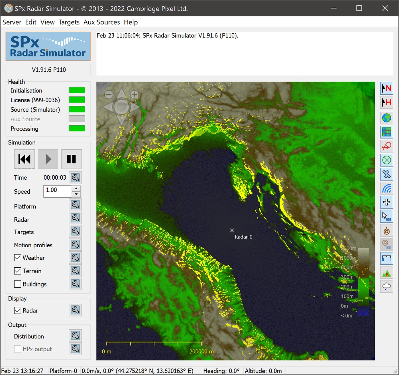
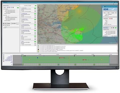
SPx Radar Simulator can generate highly realistic radar returns, from multiple radar sources, based on a set of terrain elevation data and user target definitions. Altitude, beamwidth and pulse length considerations are used to create a realistic radar video image. There are also settings for simulated sea clutter, target RCS and radar sensitivity.
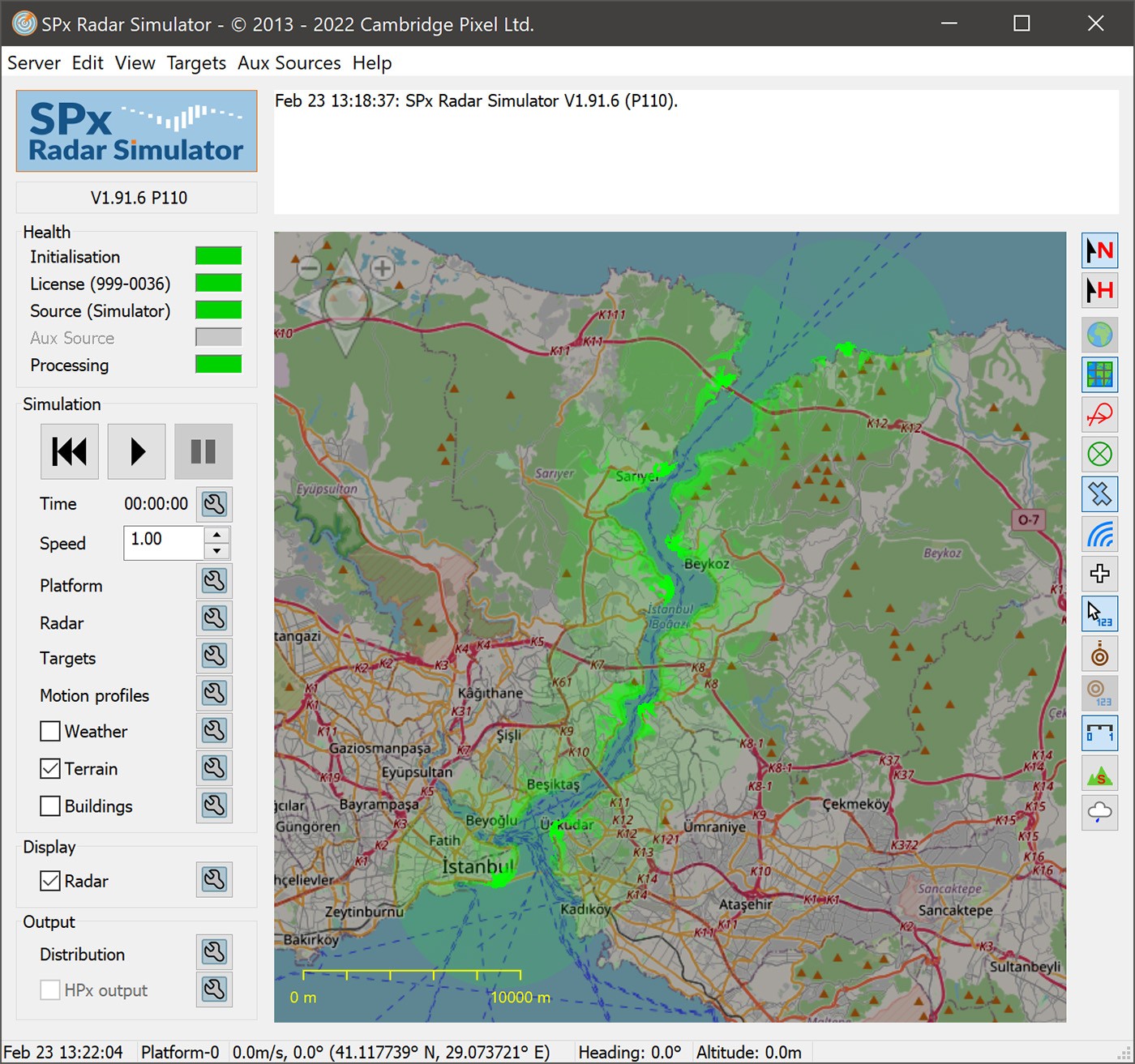
Terrain elevation data comes from NASA's "Shuttle Radar Topography Mission" (SRTM), covering most of the world's landmass, with an accuracy of 3 arc-seconds in latitude and longitude. You can also use your own set of DTED data instead. This is used to calculate radar returns from land for a given platform position and can optionally include the line-of-sight along each azimuth, so that land or targets that are obscured by terrain at shorter ranges are not displayed.
Real radar data (either from a live source or recording) can be used as an auxiliary input and supplemented with artificial data that the software is generating, allowing extremely realistic simulations. For example, the injection of rogue target into real radar video to test the reactions of an operator or the behaviour of a tracker.
Scenario Definitions
Complex trajectories can be defined that both targets or the radar platform can follow. These can be created in the display window or by specifying their heading, speed and acceleration (linear or angular) directly within a configuration file.
Several targets can follow the same motion path, separated in time or by a fixed offset and with optional positional noise. This allows simulations where many targets follow a prescribed route (e.g. airport runways, vessel traffic channels, roads or railways).
Platform navigation data, target track data, AIS data or ADS-B data as external inputs can also be used for creating artificial radar video returns allowing simulations from real data (possibly replayed) or an external scenario generator.
Shaped Targets and Buildings
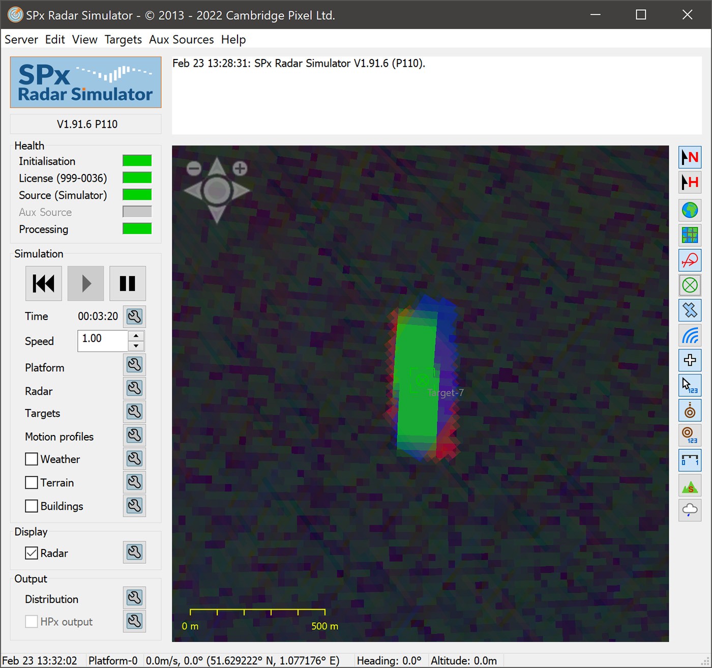
Targets can be defined as complex polygons instead of just length and breadth, allowing simulations of very high-resolution radars (for example airport surface movement radars) which more accurately reflect the returns that may be expected from a real radar. Shaped targets following a motion path are rotated as required to present the correct aspect to the radar.
Buildings may also be defined with complex polygons or ESRI Shapefiles (.shp). As with targets and terrain, buildings contribute to the calculated radar video returns.
Outputs
SPx Radar Simulator is capable of providing many different output data streams in different formats, including NMEA-0183 and ASTERIX. For simulations where the platform is following a motion, NMEA-0183 navigation data messages are output.
Target track messages can also be generated for all user-defined targets. Target reports may be created and output in the form of primary radar tracks (ASTERIX CAT-48 or CAT-10), AIS messages (NMEA-0183), ADS-B messages (ASTERIX CAT-21) or multilateration reports (ASTERIX CAT-20).
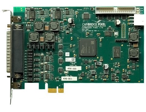
Cambridge Pixel's HPx-310 Radar Signal Output card can generate radar signals (video, trigger and azimuth data) from the simulated radar video, providing a complete radar simulation package, capable of driving incumbent radar display equipment.
Configuration Files
All aspects of the simulation, including targets and motions, may be saved to and loaded from configuration files.
Target and motion data are stored in a separate ASCII text-based file (or multiple separate files) to the main configuration parameters, providing external editing and easy sharing of common scenarios across different simulations, such as simulating the same set of targets under different radar noise conditions or with the radar positioned in different locations.
Core Features
- Ready-made radar video simulator
- Built-in scenario editor
- Realistic radar returns generated from:
- Terrain elevation data
- User-defined targets
- External target input
- Building definitions
- Primary, secondary (IFF) and MTI video outputs
- Programmable radar characteristics, including:
- PRF
- Rotation rate
- Beamwidth
- Multiple radar simulation (2 standard version, 4 extended version)
- Programmable target size, shape, RCS
- Support for buildings:
- User-defined
- Shapefiles (.shp)
- Motion definitions for platform and targets
- Graphical motion profile editor
- Configuration file support
- Built-in real-time display
- Tiled map and world vector shoreline underlays
- DTED format terrain data
- Platform navigation data output
- Primary target track output
- AIS target output
- ADS-B target output
- ASTERIX CAT-240 radar video output
- ASTERIX CAT-62 target report generation
- ASTERIX CAT-48 target report generation
- ASTERIX CAT-10 target report generation
- ASTERIX CAT-8 weather report simulation
- Radar video output using HPx-310 radar signal output card
- External track, AIS, ADS-B and navigation data input
- Plot or Track output
- LWE (Lightweight Ethernet) protocol supported for AIS and Navigation Data
- Support for RADDS format on HPx-450 radar input cards
- Auxiliary video source inputs:
- Radar recording file
- Live network radar video
- Live HPx radar video
- Test pattern
- Fixed test target and random target generation
- Target noise, radar noise and sea clutter
- Line-of-sight calculations
- Altitude considerations
- Course or Heading Up modes
- Pitch and Roll simulation

