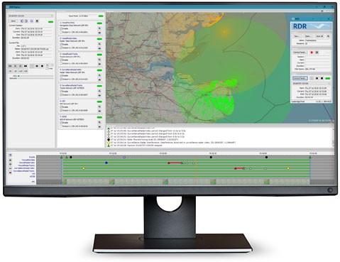
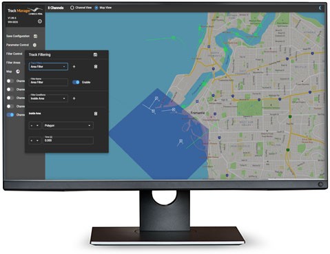
Integrates with SPx Software for Expanded Capabilities
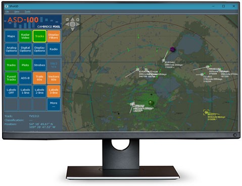
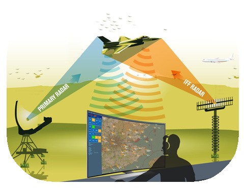
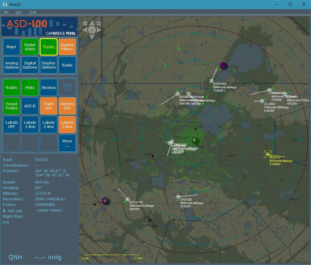
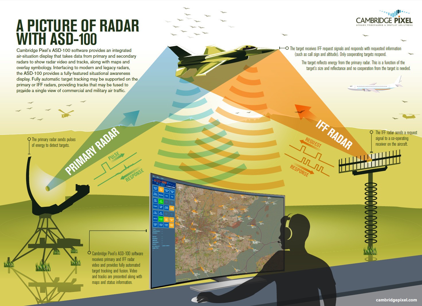
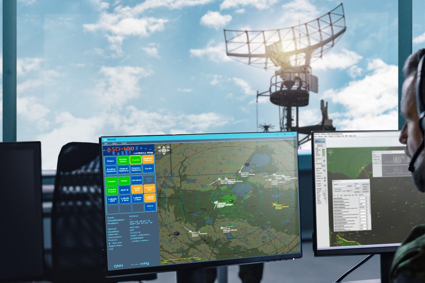
SPx Server can provide ASD-100 with radar video and track reports. It also supports tracking from IFF video, including extraction of the encoded SSR (IFF) information.
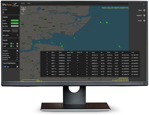
SPx Fusion Server can provide ASD-100 with a fused stream of data from many radars and sensors.
SPx SafetyNet Server can provide ASD-100 with CAT-4 alerts.
TEWA (Threat Evaluation and Weapon Assignment) can expand the capabilities of ASD-100 into a capable air defence system.
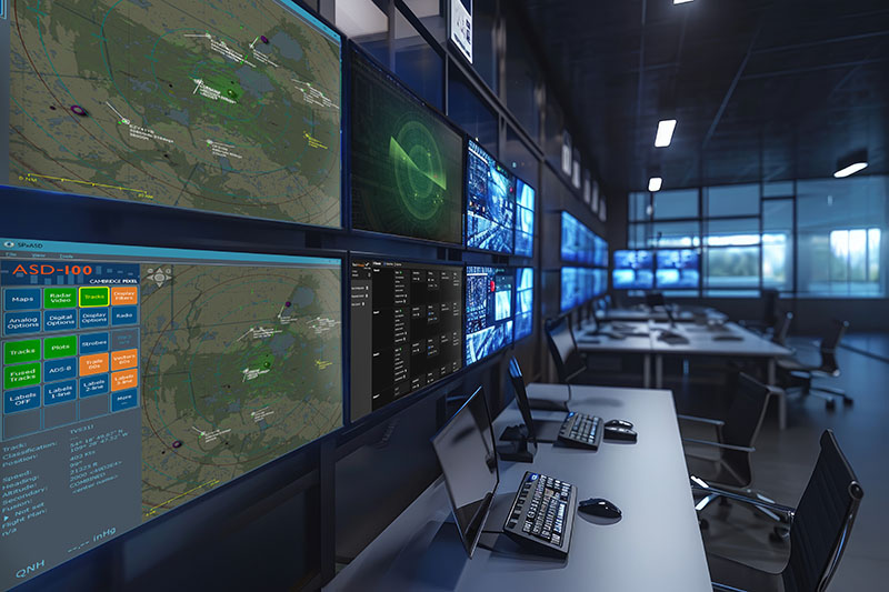
Comprehensive upgrade for legacy air defence processing and display systems
By combining ASD-100 with other Cambridge Pixel solutions, Air Defence Systems can be upgraded predominantly using software, making them cost-effective and future-proof. Existing (and expensive) front-end radar hardware can be retained. Support for standard ASTERIX data provides compatibility with other systems using these formats.
Source code licencing is also available, allowing developers to extend, localise and ensure long term support.
New Features Added
MapBox map support
Label de-confliction
Fullscreen PPI mode
Configurable and searchable Track Table
Password protected settings
Advanced filtering
- Ready-to-run application for Windows
- Four channels of ASTERIX CAT-240 radar video input
- Four channels of ASTERIX CAT-48 plots/tracks input
- ASTERIX CAT-21 ADS-B input
- Safety alert input (ASTERIX CAT-4) and display of warnings
- ASTERIX CAT-8 weather data display
- High-quality scan-conversion:
- Low CPU usage
- Real-time and sweep fading (persistence)
- Programmable colour
- Multiple map support:
- Tiled maps
- Terrain contour map
- Raster maps (up to 10 layered images)
- User map graphics
- Aeronautical chart support:
- Downloaded on demand, cached locally
- Visual Flight Rules (VFR)
- Low and high altitude routes
- SkyVector charts updated every 28 days, and are automatically downloaded from the internet as tile images at different scales.
- Global chart support available, operators can choose between World-High, Low or VFR charts.
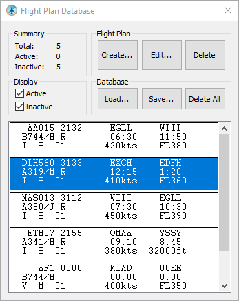
- Flight plan support:
- Create, edit and save flight plans
- Callsign, Mode 3/A code, aircraft type, route and ETA information
- Flight plans matched against current tracks
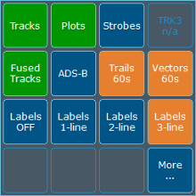
- History trails and target vectors ("leader lines")
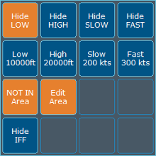
- Selective track filtering, based on speed and altitude
- Configurable target label display
- Configurable soft buttons for customised operator display
- Full zoom and off-centre control
- Multiple rulers with fixed end positions or tied to targets
- Intercept calculation and graphical display
- Overlay graphics:
- Range rings, with auto and manual modes
- Compass rose
- "Quick Lines"
- Range scale indicator
- Cursor lat/long and terrain elevation readout
- Selectable metric or imperial distance units
- Selectable coordinate format: degs, DMS, UTM, MGRS
- Software Defined Radio support
- Easy configuration Wizard
- PPI snapshot function
- System status display, showing current numbers of received plots/tracks.

