Combine with SPx Server
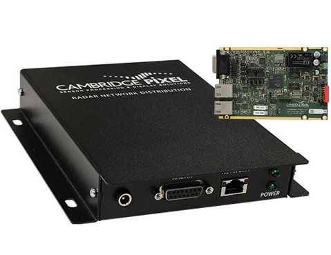
Radar video may be provided on the network from the SPx Server application, allowing the radar and display to be physically separated. Introducing SPx Server into the solution also makes it possible for multiple displays (RadarView) to receive the video from a single radar.
Use RadarView features in your own software with SPx
RadarView is built from Cambridge Pixel's SPx Radar Processing modules. Instead of using the standard RadarView product, the SPx Development library may be used to build a custom application. All of the major acquisition, processing, scan conversion and display capabilities of RadarView are available through the SPx library and may be incorporated into a customised application.
- Ready-to-run application software for Windows
- Windows 11 compatible
- Multiple Radar Video Inputs
- Radar input from video/trigger/ACP/ARP (HPx radar interface card)
- Radar input from network:
- ASTERIX CAT-240
- SPx format (e.g. from SPx Server)
- Proprietary formats
- ASTERIX CAT-8 weather data display
- Supports ATC integrators and SSR/MSSR installations
- High-quality scan-conversion
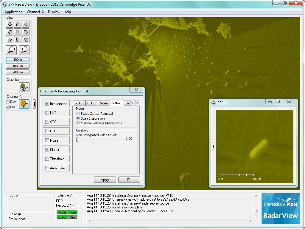
- Real-time fading, persistence and programmable colour
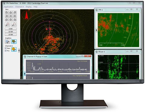
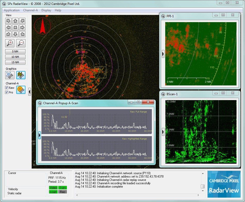
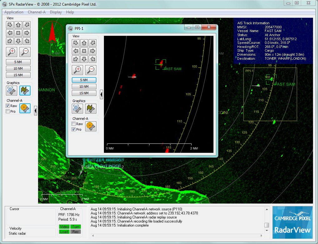
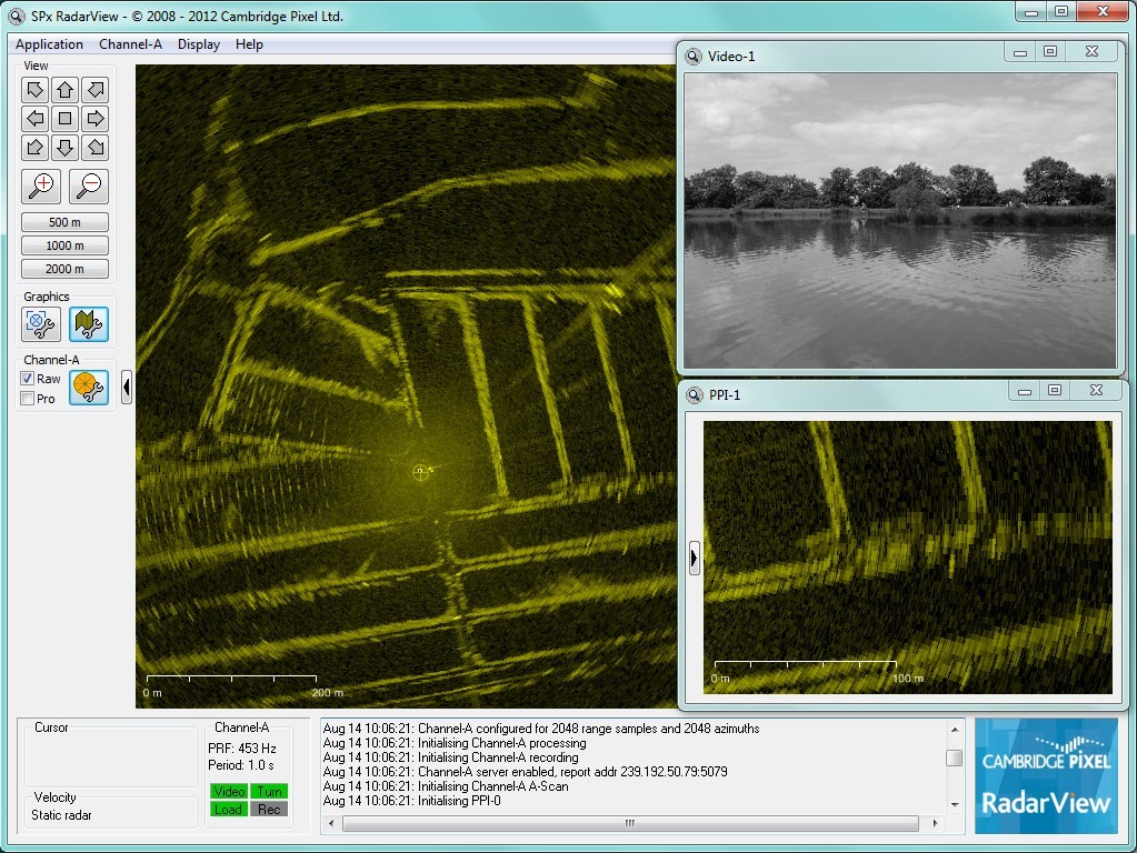
- Main PPI and up to 4 pop-up PPIs
- Fully resizable/positionable windows
- Supports single and multi-screen systems (radar across multiple screens)
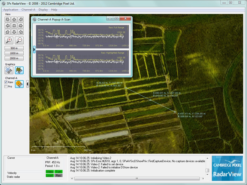
- PPI, RHI, B-Scan and A-Scan presentation
- Radar video record and replay
- Moving platform support with NMEA input
- North-up or heading referenced display modes
- True or relative motion updates
- Continuous zoom/off-centring
- Radar display processing options
- History trails, including retention on view change
- Magnifier window
- Primary track receipt and display
- SPx format
- ASTERIX CAT-10
- ASTERIX CAT-48
- ASTERIX CAT-62
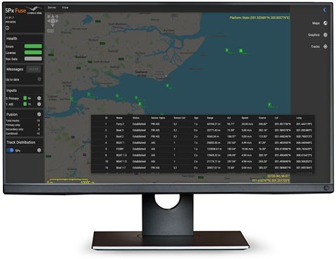
- Two channels of primary track receipt plus independent fused track receipt
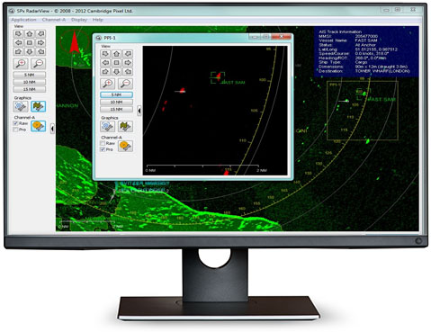
- AIS receipt and display
- ADS-B (ASTERIX CAT-21) receipt and display
- Surveillance Co-ordination Function (ASTERIX CAT-17) support
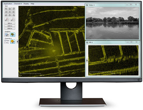
- Up to two TV video windows
- Flexible configuration options
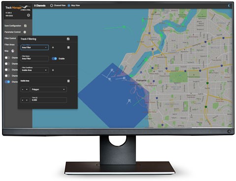
- Underlay maps: tiled maps, raster images, world vector shoreline, S57 charts (option)
- Overlay graphics: range rings, compass ring, range scale indicator, user map
- Radar coverage map calculation and display

